Log in
All resources
Create a design
11,660 Free Images of Old Map
pages with maps
cc-zero
maps by willem and johannes blaeu
bibliothèque nationale de france
ships on maps
atlas novus (blaeu)
coats of arms on maps
classicism
media from the national library of finland
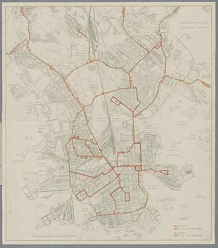
old maps of helsinki
17th-century maps of asia
maps from gallica
17th-century maps of the black sea
maps by willem and johannes blaeu
maps by alain manesson-mallet
description de l'universe
windmills in hoorn, north holland
post mills in north holland
media from the national library of finland
classicism
cornelis danckerts (ii)
1640 maps of italy
russian empire in thomas kitchen's general atlas (1773)
general atlas (1773)
old maps of são paulo (city)
maps of são paulo (city)
old maps of latvia
maps of livonia
maps of hofgarten düsseldorf
kunstakademie düsseldorf
maps by john cary
1801 maps
foire saint-germain on old maps
baroque
media from the national library of finland
classicism
old maps of the banda islands
maps of maluku (province)
carte de la mer mediterranée (1764) by roux
eran laor cartographic collection
old maps of rhineland-palatinate
baroque
maps by willem and johannes blaeu
old maps of tripoli
maps made in the 16th century
johannes ruysch
engravings of buildings
maps by pieter mortier
17th-century maps of bohemia
1645 maps of austria
hendrik de leth
1737 maps
old images of crete under venetian rule
old maps of chania
media from the national library of finland
classicism
old maps of bouvet island
bouvet island
media from the national library of finland
classicism
architecture
village
shopping
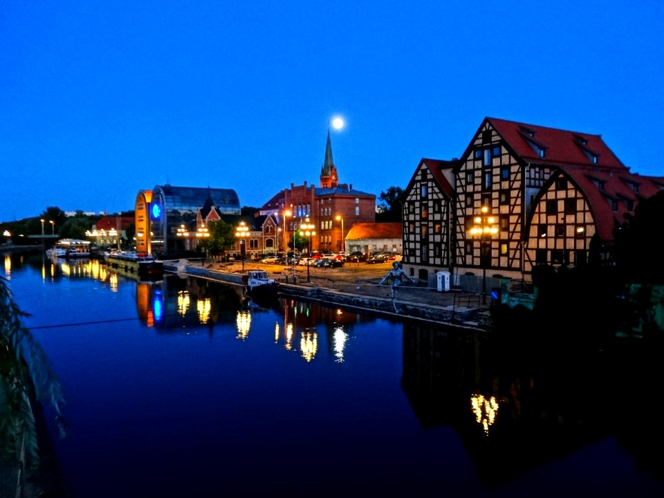
town
cc-pd-mark
gold
architecture
roof
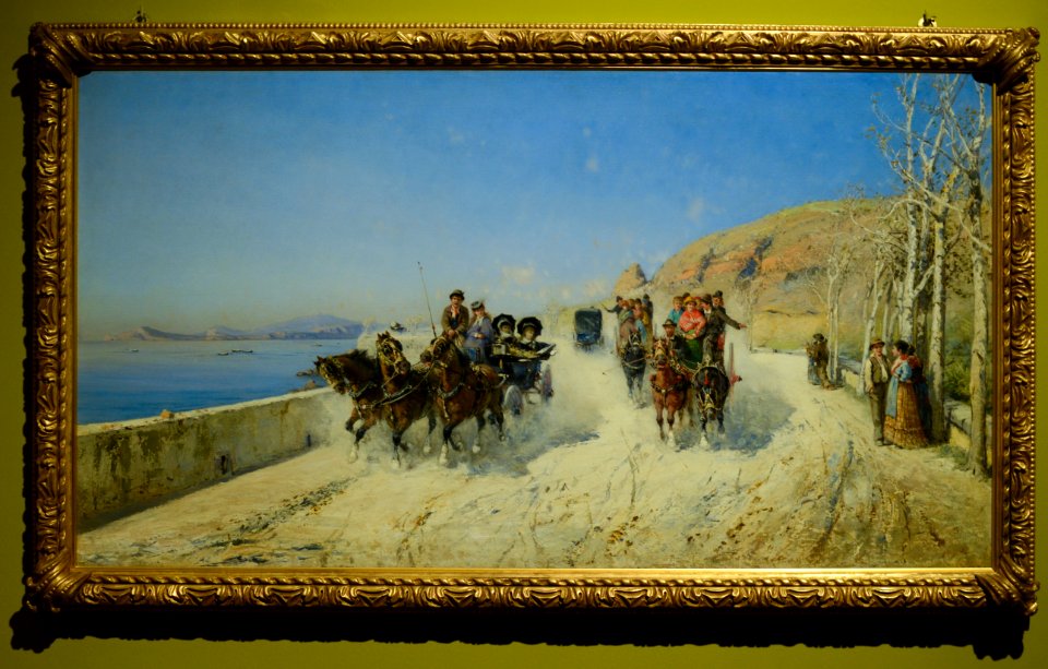
1872 paintings
cc-pd-mark
old maps of groningen (province)
lordship of groningen
hoogheemraadschap rijnland map, 2nd edition, 1687
old maps of haarlem
russian empire in thomas kitchen's general atlas (1773)
general atlas (1773)
1660s maps of belgium
old maps of bruges
self-published work
pages with maps
construction worker
light and shadow
passenger train
vehicle
brooklyn bridge – city hall (irt lexington avenue line)
city hall (irt lexington avenue line)
travel
water
pages with maps
cc-pd-mark
self-published work
architecture
travel
city
atlas maior, vol 11 (asia) - joan blaeu, 1667 - bl 114.h(star).11
1660s maps of china
files based of data provided by the czech office for surveying and cadastre
romantic music
old maps of north rhine-westphalia
maps of rietberg
maps by willem and johannes blaeu
old maps of aalst
17th-century maps of the eastern mediterranean
andré daulier deslandes
19th-century maps of bohemia
19th-century maps of silesia
pd-art (pd-old-auto)
cc-pd-mark
cc-pd-mark
indoor
maps of polders in south holland
old maps of the hague
copper engravings
old maps of goes
maps of paris from bibliothèque nationale de france
old maps of the paris metro
italia - di matteo greuter... - btv1b525056959
old maps of apulia
1780s maps of florida
maps of florida
old maps of île de la cité
old submaps of paris
french-language maps from ios map collection
old maps of carinthia
the hague in the 1830s
old maps of the hague
old maps of krefeld
1645 in krefeld
maps of polders in south holland
old maps of westland
old maps of gorinchem
1730 maps
details of old maps of amsterdam
map of amsterdam, 1544
media from the national library of finland
classicism
cornelis de jode
1579 maps
maps of asia by mercator-hondius
details of old maps
old maps of gelderland
old maps of zutphen
maps of bruges by braun & hogenberg
maps from the earth and its inhabitants, vol. vi
1891 maps of georgia
john rocque's 1746 map of london
details of old maps of london
1680s maps of the caucasus
description de l'universe
1650s maps of china
1655 maps of asia
john rocque's 1746 map of london
history of london
1770s maps of alaska
robert de vaugondy
maps in the library of congress
selma, alabama
midden-delfland in the 18th century
maps of midden-delfland
nürnberger reichswald
1559 maps of germany
eran laor cartographic collection
german renaissance,humanism
18th-century maps of north america
1708 maps of north america
maps by pieter van der keere
maps with cartouches
maps of the duchy of limburg
1645 maps of belgium
magni ducatus lithuaniae
dnieper in ukraine
maps by louis brion de la tour
french-language maps
fra mauro map details
old maps of thailand
old maps of 's-hertogenbosch
empel en meerwijk
maps by willem and johannes blaeu
siege of breda 1624-1625
italia antiqua (galleria delle carte geografiche)
old maps of italy
old maps of the kingdom of france (987-1792)
19th-century maps of the british isles
maps of hulsterse bolwerken
old maps of hulst
old maps of bouvet island
bouvet island
atlas maior, vol 5 (england) - joan blaeu, 1667 - bl 114.h(star).5
old county maps of pembrokeshire
cartes de franz schrader
old maps of france
engravings of hannover
wood engravings
old maps of the coast of england
bodleian maps collection
17th-century maps of france
old maps of loiret
maps by willem and johannes blaeu
siege of groenlo 1627
dripps maps of manhattan published in 1867
neoclassicism
maps by john tallis
maps by john rapkin
miniature speed atlas (1627) pieter van den keere
county maps of england by john speed
floor plans of fortresses
daugavgrīva castle
1645 maps of belgium
tournaisis
6901 - 7000 of 11,660
Next page
/ 117